
Eisenhower map tool
The map tool enables you to make maps for Eisenhower quickly, just by typing some text into fields on a web page.
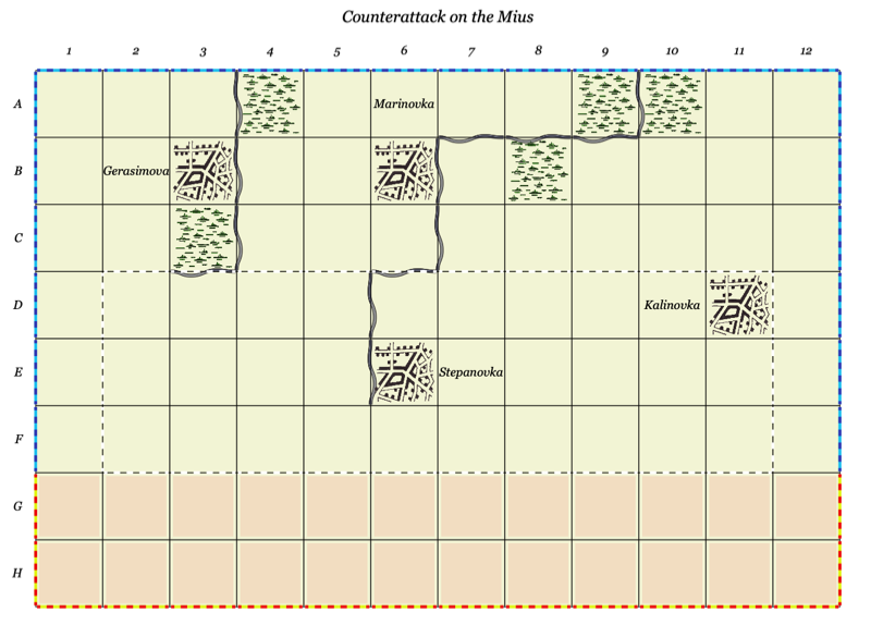
The counter generator can be started as a blank map Eisenhower map, configured, and then saved (as a web address with parameters).
This allows you to easily create and save maps for scenarios.
The basic idea is to enter single letter codes into fields on the page. Each code corresponds to a type of terrain and, possibly, its orientation.
Change 'Hide controls' to 'Show controls' to reveal the fields.
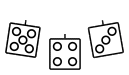
The map legend shows you all the codes.
For example:
'w' will show a wood in the corresponding square of the map. 'm' will put a minor river on the right-hand edge of the square. 'M' will put a minor river on the bottom edge of the square.
The row above the top of the map and the column to the left of the map are also included so that you can put linear features on the top and left edges of the map, respectively.
For linear features:
- Upper case characters put the feature on the bottom edge of the map square
- Lower case characters put the feature on the right edge of the square
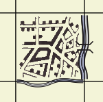
Multiple characters can be combined. Here is an urban area with a major river to the east, with a bridge, and a minor river to the south. This is coded as 'unbM'
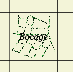
You can display text in a map square by entering the text surrounded by square brackets, such as 'h[Bocage]' to display the bocage symbol with the word 'Bocage' added.
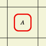
This is useful for labelling objectives. 'x[A]'.
Colour
The map background colour can be any of the named HTML colours or, if prefixed with a '#', any of the six-character colour codes . See https://htmlcolorcodes.com/color-names/ and https://htmlcolorcodes.com/color-picker/ for details.
Map size
The 'Scaling' parameter controls the size of the map. It scales all the squares, features, and text on the map.
You will need to adjust this to get the map to be a good size for printing.
Saving and loading maps
After you have created a map, click on 'Update URL with parameters and reload'. This will create a web address with all the terrain features listed in it, and reload the browser with that page. You can then save a bookmark.
When loading maps it is a good idea to do a page refresh after they have loaded. There is a bug that sometimes prevents all the terrain features appearing.
Tips
- If you want to adjust width and height of the map from the standard 12 x 8, do so before you add the terrain! Resetting the map size will clear all terrain.
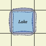
- Need a large lake? Create the linear lakes round the edge of the square, then add several SD area symbol to fill it in.

Versions
- 01-A 10 Nov 2024.
- Original
Map tool (blank)
Thanks!
IanH